The opinion of Aventure Nordique
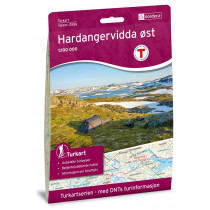
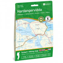
The hiking map Hardangervidda at 1:100 000 covers the east part of Hardanger. The maps allows you to view to the west: Odda, fjords Sørfjorden, Hardangerfjorden, eidfjorden. North: Hardangerjøkulen glacier, Geilo. South: Haukeliseter and Rjukan. The Hardangervidda map is compatible with the GPS system (UTM grid).
Points to remember
La carte Hardangervidda est compatible avec le système GPS (grille UTM). Papier résistant à l'humidité.
Technical details
| Manufacturer | Nordeca |
|---|---|
| Country | Norway |
| Type | Hiking map |
| Series | Turkart |
| Sheet reference | 2558 |
| Article number | 2558 |
| EAN | 7046660025581 |
| Date of publication | 2018 |
| Scale | 1:100 000 |
| Folded size | 14,3 x 20,8 cm |
| Weight | 56 g |
| Warranty | 2 years |
| Country of Manufacture | Norway |