The opinion of Aventure Nordique
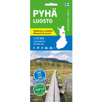
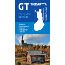
This double-sided map covers the southern part of Pallas-Yllästunturi National Park and its surroundings at a scale of 1:25,000. The villages of Äkäslompolo and Ylläsjärvi are located in the arms of the mighty Ylläs mountain range, and the tourist center of Levi is located in the village of Sirka.
The area has a comprehensive hiking, cross-country skiing and mountain biking route that connects Levi's routes through the Aakenus region. To the north, the hiking trail leads to Pallas. The challenging mountain bike route between Ylläs and Levi is also marked on the map. Snowshoeing and cycling routes are included.
Technical details
| Manufacturer | Karttakeskus |
|---|---|
| Country | Finland |
| Type | Hiking map |
| Article number | 9789522667212 |
| EAN | 9789522667212 |
| Date of publication | 2021 |
| Scale | 1:25 000 |
| Folded size | 10 x 20 cm |
| Weight | 51 g |
| Additional information |
|
| Warranty | 2 years |
| Country of Manufacture | Latvia |


