The opinion of Aventure Nordique
Galdhøpiggen is the highest mountain in Norway, followed by Glittertinden. These two mountains are 2469 meters and 2465 meters high respectively.
This hiking and outdoor map provides a detailed description of the terrain, hiking trails and winter markings for Backcountry ski touring.
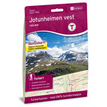
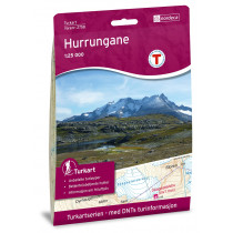
The map covers the Galdhøpiggen and Glittertind peaks and the following locations: Spiterstulen, Hammarstulen, Raudbergstulsætren, Visdalssætren, Slåligrende, Galdbygde, Uppigard, Runningsgrende, Neto.
This map n°3752 is compatible with the GPS system (UTM grid). Foldable map made of weatherproof materials.
Points to remember
Une carte détaillée qui couvre plus de 750 km². Vous trouverez à la fois des sentiers de randonnée et les refuges clairement indiqués sur la carte. Une randonnée au sommet de Galdhøpiggen est une expérience fantastique avec une vue spectaculaire sur le massif du Jotunheimen !
Technical details
| Manufacturer | Nordeca |
|---|---|
| Country | Norway |
| Type | Hiking map |
| Series | Topo 750 |
| Sheet reference | 3752 |
| Article number | 3752 |
| EAN | 7046660037522 |
| Date of publication | 2021 |
| Scale | 1:25 000 |
| Folded size | 14,2 x 20,7 cm |
| Weight | 54 g |
| Warranty | 2 years |
| Country of Manufacture | Norway |