The opinion of Aventure Nordique
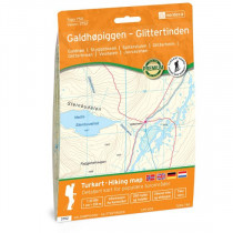
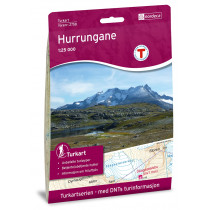
Hiking, trekking and outdoor map, covering Geirangerfjorden. This detailed map covers more than 750km². You will find hiking trails and accommodations clearly marked on the map.
The map covers Geirangerfjord and the following places: aldsbygda, Skuset, Berge, Eide, Knivsflå, Skageflå, Geiranger, Gjørva, Maråk, Vinje, Flydalen, Ørjasætra, Frøysa, Hole, Bjørdal, Vollset, Kaldhusdalen, Rødal, Breidablikk
Scale 1:25 000. Foldable map made of weatherproof materials. GPS WGS 84 compatible.
Points to remember
Technical details
| Brand | Nordeca |
|---|---|
| Country | Norway |
| Type | Hiking map |
| Series | Topo 750 |
| Article number | 3753 |
| EAN | 7046660037539 |
| Date of publication | 2021 |
| Scale | 1:25 000 |
| Folded size | 14,2 x 20,6 cm |
| Weight | 54 g |
| Warranty | 2 years |
| Country of Manufacture | Norway |


