The opinion of Aventure Nordique
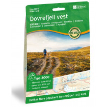
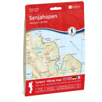
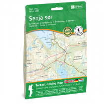
The map Senja Nord at 1:150 000 covers the northern part of the island of Senja including the following places: Gryllefjord, Mefjordvær, Ersfjord, Senjahopen, Sommarøy, Senja, Kistefjellet, Silsand, Svanelvmoen, Botnhamn.
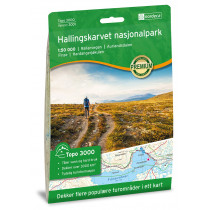
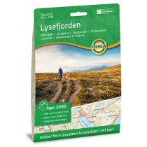
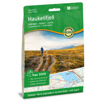
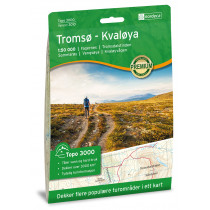
This hiking map covers more than 3000 km². It details the hiking trails as well as the huts. Topographic map of Norway compatible with GPS. Water resistant paper.
Technical details
| Brand | Nordeca |
|---|---|
| Country | Norway |
| Type | Hiking map |
| Series | Topo 3000 |
| Sheet reference | 3029 |
| Article number | 3029 |
| EAN | 7046660030295 |
| Date of publication | 2020 |
| Scale | 1:50 000 |
| Folded size | 14,2 x 20,7 cm |
| Weight | 70 g |
| Warranty | 2 years |
| Country of Manufacture | Norway |


