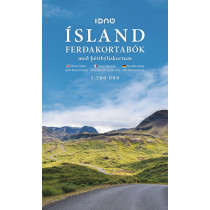
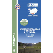
The opinion of Aventure Nordique
The Höggunarkort is a map about tectonics in Iceland. On the front side you will find a 1:600,000 map of the island with the different layers of land differentiated according to their period of formation and not their composition, but also various volcanic formations.
On the back, photos and explanatory texts illustrate, among other things, the terms of the legend (period and volcanic formations). Some of the concepts developed are: fault, Tertiary, Miocene, caldera, central volcano...
Technical details
| Brand | Mal og Menning |
|---|---|
| Country | Iceland |
| Series | Mal og Menning |
| Article number | 330455 |
| EAN | 9789979330455 |
| Date of publication | 2009 |
| Scale | 1:600 000 |
| Folded size | 23,5 x 12,5 cm |
| Weight | 70 g |
| Warranty | 2 years |
| Country of Manufacture | Iceland |


