The opinion of Aventure Nordique
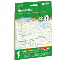
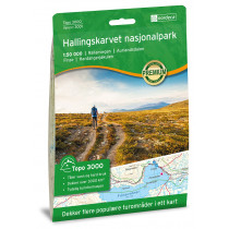
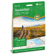
The 1:50,000 scale Filefjell hiking map shows hiking trails in the Filefjell mountains of Norway. The precise scale (1 cm on the map = 500 m on the ground) will help you find your way when hiking or skiing in these Norwegian mountains. The map is made from moisture-resistant fibers. It indicates hiking trails and refuges. Legend in English.
This map shows the hiking trails in the Filefjell massif between the Jotunheimen massif to the north and the Hardangervidda to the south. The map covers the following locations: Kongevegen, Lærdal, Øvre Årdal, Tyin og Vang.
Technical details
| Brand | Nordeca |
|---|---|
| Country | Norway |
| Type | Hiking map |
| Series | Topo 3000 |
| Sheet reference | 3013 |
| Article number | 3013 |
| EAN | 7046660030134 |
| Date of publication | 2017 |
| Scale | 1:50 000 |
| Folded size | 14,2 x 20,7 cm |
| Weight | 55 g |
| Warranty | 2 years |
| Country of Manufacture | Norway |


