The opinion of Aventure Nordique
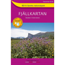
BD9 Padjelanta – Sulitelma hiking and outdoor map. The map covers Padjelanta National Park and part of Stora Sjöfallet and west of Sarek. Southeast of the map, there is the Tarradalen valley and the refuge of Såmmarlappastugan. In the southwest, the mountain of Sulitelma, the refuge Pieskehaurestugan and the area border with Norway: Jukerdal Nasjonalpark. BD9 Padjelanta – Sulitelma map is compatible with GPS (Sweref 99 TM grid).
Technical details
| Brand | Norstedts |
|---|---|
| Country | Sweden |
| Type | Hiking map |
| Series | Fjällkartan |
| Sheet reference | BD9 |
| Article number | 9789158895874 |
| ISBN | 9789158895874 |
| EAN | 9789158895874 |
| Date of publication | february 2009 |
| Scale | 1:100 000 |
| Folded size | 14x20cm |
| Additional information |
|
| Warranty | 2 years |
| Country of Manufacture | Italy |
verified customer reviews 
Only customers who have ordered this product from us can give their opinion on our products, but you can contact us for questions, returns and advice.


