The opinion of Aventure Nordique
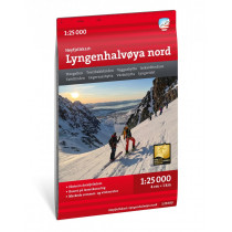
Lyngenhalvøya sør is a Calazo map covering the southern part of the Lyngen Alps. Thanks to its 1:25,000 scale, this map is accurate and suitable for outdoor activities.
The terrain information shown on the map is based on aerial laser scanning data. Ridges, peaks, watercourses, glaciers and other natural features are depicted in great detail using this technology. The map also includes all trails.
Lyngenhalvøya sør covers the following areas: Lyngseidet, Steindalen, Lakselvbukt, Lomvatnet, Rørnestinden, Kavringstinden, Daltinden, Jiehkkevarri, Lyndsdalen.
This 1:25,000 scale map is ideal for hikers, mountaineers and skiers following trails or navigating off the beaten track. The map is made from Tyvek, a water-resistant, tear-proof and lightweight material.
Technical details
| Brand | Calazo |
|---|---|
| Country | Norway |
| Type | Hiking map |
| Article number | 9789189541528 |
| EAN | 9789189541528 |
| Date of publication | 2023 |
| Scale | 1:25 000 |
| Folded size | 13 x 21 cm |
| Weight | 55 g |
| Warranty | 2 years |
| Country of Manufacture | Latvia |


