The opinion of Aventure Nordique
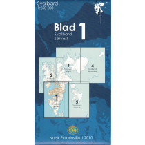
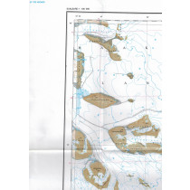
Topographic map of the Svalbard archipelago at 1:1 000 000. This map offers a general view of Svalbard located between 74 and 81 degrees north latitude: Spitsbergen Islands, Nordaustlandet, Edgeoya and Bjornoya.
An indispensable tool to prepare a trip to Spitsbergen. The map indicates roads, villages, lighthouses, radio stations and altitudes. Bilingual Norwegian/English legend and glossaries of topographic terms.
Points to remember
Technical details
| Brand | Norwegian Polar Institute |
|---|---|
| Country | Spitzbergen |
| Type | Tourist map |
| Article number | 711701 |
| Date of publication | 2019 |
| Scale | 1:1 000 000 |
| Folded size | 12 x 23cm |
| Weight | 35 g |
| Warranty | 2 years |
| Country of Manufacture | Norway |


