The opinion of Aventure Nordique
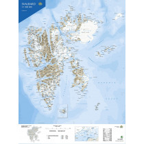
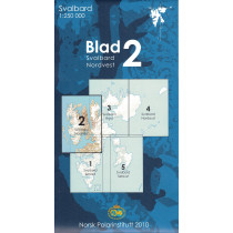
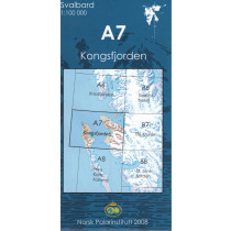
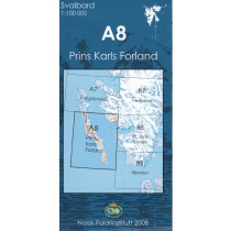
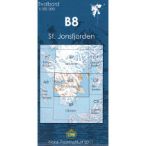
Topographic map of the Svalbard Archipelago. Southwestern part at a scale of 1:250,000. Map edited by the Norwegian Polar Institute (Norsk Polar Institutt). Contains a detailed index of geographical features, a glossary and rules for visitors.
The map shows roads, tracks or paths, as well as airfields and heliports, lighthouses, etc...
Points to remember
Technical details
| Brand | Norwegian Polar Institute |
|---|---|
| Country | Spitzbergen |
| Type | Hiking map |
| Article number | 711501 |
| Date of publication | 2010 |
| Scale | 1:250 000 |
| Folded size | 13 x 24 cm |
| Weight | 85 g |
| Warranty | 2 years |
| Country of Manufacture | Norway |


