


The opinion of Aventure Nordique
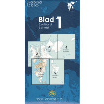
Topographic map of the Svalbard archipelago at 1:1 000 000. This map offers a general view of Svalbard located between 74 and 81 degrees north latitude: Spitsbergen Islands, Nordaustlandet, Edgeoya and Bjornoya.
An indispensable tool to prepare a trip to Spitsbergen. The map indicates roads, villages, lighthouses, radio stations and altitudes. Bilingual Norwegian/English legend and glossaries of topographic terms.
Points to remember
Un indispensable pour préparer un voyage au Spitzberg. La carte indique les routes, villages, les phares, les stations de radio et les altitudes. Légende bilingue norvégien/anglais et glossaires des termes topographiques.
Technical details
| Brand | Norwegian Polar Institute |
|---|---|
| Country | Spitzbergen |
| Map Type | Tourist maps |
| Article number | 711701 |
| Date of publication | 2019 |
| Scale | 1:1 000 000 |
| Folded size | 12 x 23cm |
| Weight | 35 g |
| Warranty | 2 years |
| Country of Manufacture | Norway |
verified customer reviews 
Only customers who have ordered this product from us can give their opinion on our products, but you can contact us for questions, returns and advice.
Questions & Answers
Be the first to ask a question about this product
Related Products
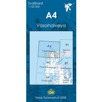
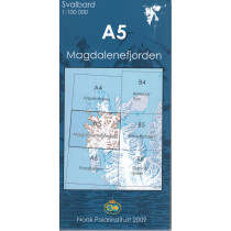
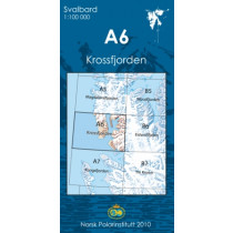
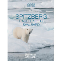
You may also be interested
Remonter

 Find out more
 Find out more
L'avis de nos aventuriers
Tip-top experience
Very satisified with the whole process, the handling and shipping was ...
Fast shipping
Fast shipping, perfect experience!
I found niche items t...
I found niche items that were hard to get hold of elsewhere and the sh...
Fast delivery
Fast delivery. Great products
One of the best (web)...
Everything was great, website, service, answering questions. Very frie...
Unnecessarily complic...
Unnecessarily complicated retour procedere for defective items.
Checkout experience a...
Checkout experience and international shipping experience are excellen...
Price and quality are...
Price and quality are good. Web site usability is nice. Destination s...
Ici, vous achetez en toute sécurité
Cette boutique répond aux critères de qualité de Trusted Shops
Protection acheteur
Votre achat est assuré jusqu'à 2500€ quel que soit votre mode de paiement
© 2010 - 2026 Aventure Nordique Ltd - Legal - Terms & conditions - Privacy policy - Personal data - Manage your cookies