The opinion of Aventure Nordique
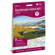
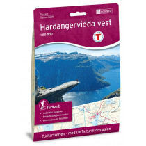
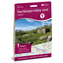
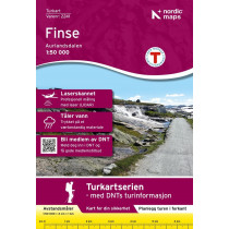
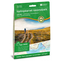
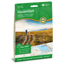
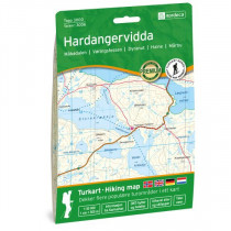
This outdoor map covers the area of Hardangerjøkulen No. 10039 is compatible with GPS (UTM). These place names located within the map:
Aurlandsdalen, Brimnes, Bruravik, Eidfjord, Finse, Granvin, Hallingskarvet, Halnefjorden, Hardangerfjorden, Hardangerjøkulen, Kinsarvik, Lofthus, Mjølfjellet, Myrdal, Måbødalen, Raundalen, Ulvik, Veig, Vøringsfossen.
Aurlandsdalen, Brimnes, Bruravik, Eidfjord, Finse, Granvin, Hallingskarvet, Halnefjorden, Hardangerfjorden, Hardangerjøkulen, Kinsarvik, Lofthus, Mjølfjellet, Myrdal, Måbødalen, Raundalen, Ulvik, Veig, Vøringsfossen.
Technical details
| Brand | Nordeca |
|---|---|
| Country | Norway |
| Type | Hiking map |
| Series | Norge |
| Sheet reference | 10039 |
| Article number | 10039 |
| EAN | 7071940100399 |
| Date of publication | 2017 |
| Scale | 1:50 000 |
| Folded size | 14,3 x 20,9 cm |
| Weight | 56 g |
| Warranty | 2 years |
| Country of Manufacture | Norway |
verified customer reviews 
Only customers who have ordered this product from us can give their opinion on our products, but you can contact us for questions, returns and advice.


