


The opinion of Aventure Nordique
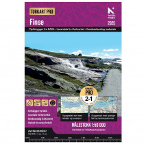
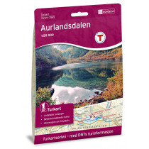
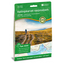
The Finse, Hallingskarvet & Aurlandsdalen double-sided 1:50,000 scale map from Swedish publisher Calazo covers the Finse, Hallingskarvet and Aurlandsdalen area.
Produced using the latest airborne laser scanning technology, the map is highly accurate and perfectly reflects the reality of the terrain: watercourses, rocks, vegetation boundaries, cliffs... This map indicates hiking trails and includes a legend in English.
Made from tyvek, a synthetic fiber, the map is waterproof and highly resistant to tearing. A tyvek map won't tear in the folds or lose its color over time.
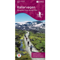
The map covers the entire region between Hallingskarvet in the south and Aurlandsdalen in the north, with hiking destinations such as Finse, the Hardangerjøkulen glacier and Flåmsdalen. The map also covers the Rallarvegen cycle path from Haugastøl to Flåm, a total of 82 km.
Technical details
| Brand | Calazo |
|---|---|
| Country | Norway |
| Map Type | Hiking maps |
| Article number | 9789189371514 |
| EAN | 9789189371514 |
| Date of publication | 2022 |
| Scale | 1:50 000 |
| Folded size | 13 x 21 cm |
| Weight | 55 g |
| Warranty | 2 years |
| Country of Manufacture | Latvia |
verified customer reviews 
Questions & Answers
Be the first to ask a question about this product
Related Products
You may also be interested

L'avis de nos aventuriers

Ici, vous achetez en toute sécurité
Cette boutique répond aux critères de qualité de Trusted Shops

Protection acheteur
Votre achat est assuré jusqu'à 2500€ quel que soit votre mode de paiement