






€26.95
Ships the same day if ordered before 1:00 p.m. with express delivery
Availability: In stock & Available in our store
The opinion of Aventure Nordique
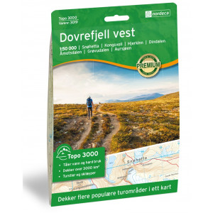
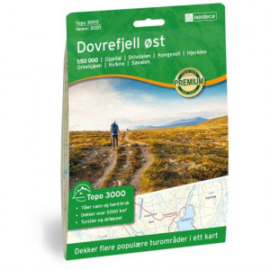
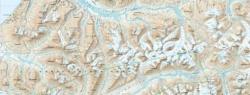
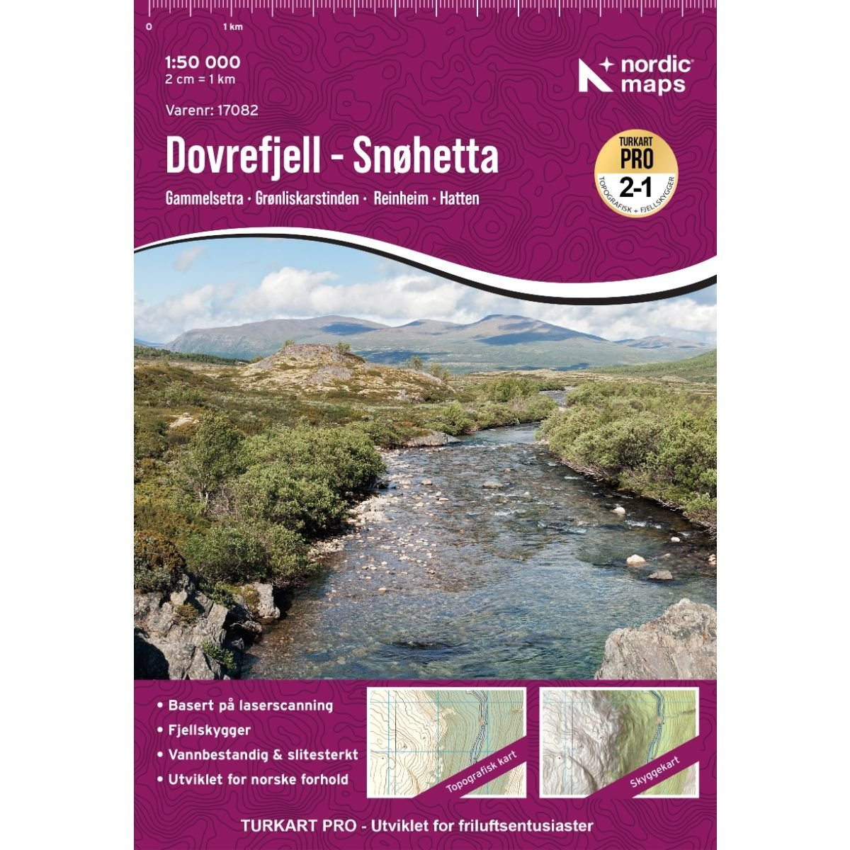
Dovrefjell Snøhetta Hiking and Outdoor Map of the Dovrefjell Massif. The map covers the highest peaks of the Dovrefjell Massif: Snøhetta and Svånåtindan. It covers a small portion of the Drivalen Valley to the northeast and Hjerkinn to the southeast. It shows the following mountain huts: Grøvudalshytta, Hjerkinn Mountain Hut, Hjerkinnhus, Snøheim, Kongsvold Mountain Hut, Reinheim, Åmotdalshytta, and Loennechenbua.
Points to remember
La carte qu'il vout faut pour explorer ces destinations norvégiennes : Parc national Dovrefjell-Sunndalsfjella, Åmotsdalen, Hjerkinn, Snøhetta, Grytdalen.
Technical details
| Brand | Nordeca |
|---|---|
| Country | Norway |
| Map Type | Hiking maps |
| Series | Turkart Pro |
| Article number | 17082 |
| EAN | 7046660170823 |
| Date of publication | 2026 |
| Scale | 1:50 000 |
| Languages | Anglais, Norvégien |
| Dimensions | 70 x 100 cm |
| Folded size | 20,7 x 14,2 cm |
| Materials | Tyvek |
| Weight | 55 g |
| Warranty | 2 years |
| Country of Manufacture | Lithuania |
verified customer reviews 
Only customers who have ordered this product from us can give their opinion on our products, but you can contact us for questions, returns and advice.