




























€26.95
Ships the same day if ordered before 1:00 p.m. with express delivery
Availability: In stock & Available in our store
The opinion of Aventure Nordique
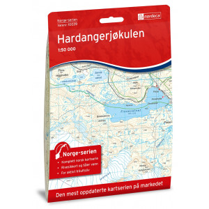
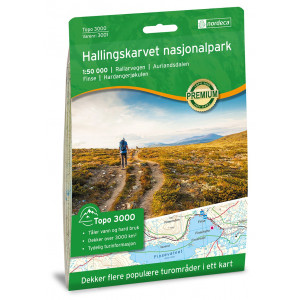
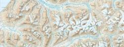
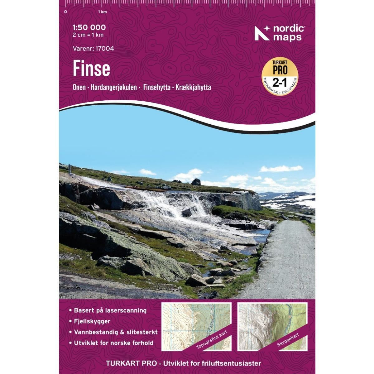
The Finse hiking map at a scale of 1:50,000 covers the Hardangerjøkulen glacier area and part of the Hallingskarvet mountain range. The boundaries are: to the north, Geiterygghytta (DNT Oslo mountain hut); to the west, Eidfjord; to the south, Dyranut Turisthytta; and to the east, Fagerheim Fjellstugu. The following locations are shown on this map: Eidfjord, Finse, Folarskardnuten, Hallingskarvet, Hallingskarvet National Park, Halnefjorden, Hardangerjøkulen, Måbødalen, Vøringsfossen.
The Finse map is compatible with GPS (UTM grid). Moisture-resistant paper.
The Finse map is compatible with GPS (UTM grid). Moisture-resistant paper.
Points to remember
Finse is renowned for its superb hiking trails and is an ideal starting point for your excursion, whether you’re heading to Hardangervidda or Skarveheimen. The map provides an overview of the many mountain huts—some with services, others without—as well as the trails and paths in the Finse area.
Technical details
| Brand | Nordeca |
|---|---|
| Country | Norway |
| Map Type | Hiking maps |
| Series | Turkart Pro |
| Article number | 17004 |
| EAN | 7046660170045 |
| Date of publication | 2026 |
| Scale | 1:50 000 |
| Languages | Anglais, Norvégien |
| Dimensions | 70 x 100 cm |
| Folded size | 20,7 x 14,2 cm |
| Materials | Tyvek |
| Weight | 55 g |
| Warranty | 2 years |
| Country of Manufacture | Lithuania |
verified customer reviews 
Only customers who have ordered this product from us can give their opinion on our products, but you can contact us for questions, returns and advice.