





























At your home tomorrow if ordered before 1:00 p.m. with Chronopost
Availability: In stock & Available in our store
The opinion of Aventure Nordique
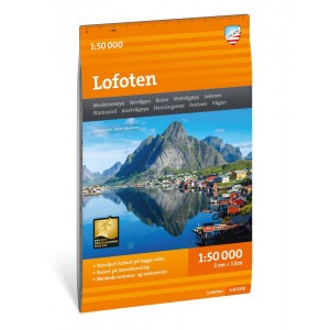
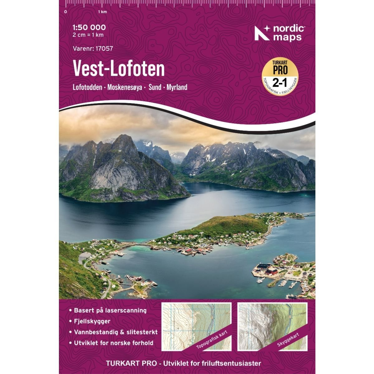
In the western Lofoten Islands, you’ll find fishing villages such as Å, Reine, and Nusfjord, with their characteristic fishermen’s huts. On Moskenesøya, the main E10 highway and the fishing villages are located along the sheltered southeastern coast. A trail leads to the northwest coast, where you’ll find deserted sandy beaches and can admire the midnight sun. Beautiful trails lead to Bunesstrand, Horseidvika, and Vester-Kvalvika. On Flakstadøya, you can follow the trail along the east coast, from Nesland in the south, through Nusfjord, to Napp in the north. Numerous shorter hikes in western Lofoten also offer the chance to discover fascinating places and exceptional panoramic views.
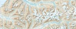
On the map, you’ll find, among other things, ferry routes, the sculptural landscapes of Nordland, the Kollhellare/Refsvikhula cave, the Sund blacksmith shop, Akkarvika, and the glass cabin at Vikten.
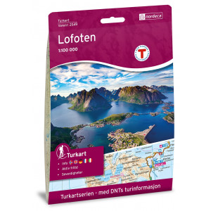
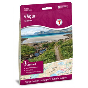
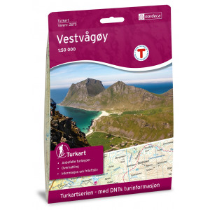
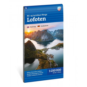
The West Lofoten map covers the following locations: Flakstadøya, Hermannsdalstinden, Lofoten, Lofotodden, Mosken, Moskenesøya, Moskstraumen, Ramberg, Reine, Røst, Skomvær, Sørland, Sørvågen, Værøya, Å, as well as the mountain huts: Munkebu, Selfjordhytta, and Fredvang.
Points to remember
Technical details
| Brand | Nordeca |
|---|---|
| Country | Norway |
| Map Type | Hiking maps |
| Series | Turkart |
| Date of publication | 2026 |
| Scale | 1:50 000 |
| Languages | Anglais, Norvégien |
| Dimensions | 70 x 100 cm |
| Folded size | 20,7 x 14,2 cm |
| Materials | Tyvek |
| Weight | 55 g |
| Warranty | 2 years |
| Country of Manufacture | Norway |