


The opinion of Aventure Nordique
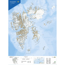
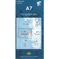
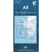
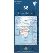
Topographic map of the Svalbard Archipelago. Southwestern part at a scale of 1:250,000. Map edited by the Norwegian Polar Institute (Norsk Polar Institutt). Contains a detailed index of geographical features, a glossary and rules for visitors.
The map shows roads, tracks or paths, as well as airfields and heliports, lighthouses, etc...
Points to remember
La carte couvre le sud-ouest du Spitzberg, l’ile norvégienne appartenant à l’archipel du Svalbard. D’une superficie de 39 044 km², c’est la seule ile habitée de l’archipel ; sa plus grande ville est Longyearbyen avec environ 1600 habitants, puis Barentsburg. Carte avec légende en norvégien et anglais.
Technical details
| Brand | Norwegian Polar Institute |
|---|---|
| Country | Spitzbergen |
| Map Type | Hiking maps |
| Article number | 711501 |
| Date of publication | 2010 |
| Scale | 1:250 000 |
| Folded size | 13 x 24 cm |
| Weight | 85 g |
| Warranty | 2 years |
| Country of Manufacture | Norway |
verified customer reviews 
Only customers who have ordered this product from us can give their opinion on our products, but you can contact us for questions, returns and advice.
Questions & Answers
Be the first to ask a question about this product
Related Products
You may also be interested
Remonter

 Find out more
 Find out more
L'avis de nos aventuriers
Tip-top experience
Very satisified with the whole process, the handling and shipping was ...
Fast shipping
Fast shipping, perfect experience!
I found niche items t...
I found niche items that were hard to get hold of elsewhere and the sh...
Fast delivery
Fast delivery. Great products
One of the best (web)...
Everything was great, website, service, answering questions. Very frie...
Unnecessarily complic...
Unnecessarily complicated retour procedere for defective items.
Checkout experience a...
Checkout experience and international shipping experience are excellen...
Price and quality are...
Price and quality are good. Web site usability is nice. Destination s...
Ici, vous achetez en toute sécurité
Cette boutique répond aux critères de qualité de Trusted Shops
Protection acheteur
Votre achat est assuré jusqu'à 2500€ quel que soit votre mode de paiement
© 2010 - 2026 Aventure Nordique Ltd - Legal - Terms & conditions - Privacy policy - Personal data - Manage your cookies