





















Ships the same day if ordered before 1:00 p.m. with express delivery
Availability: In stock & Available in our store
The opinion of Aventure Nordique
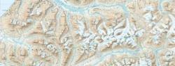
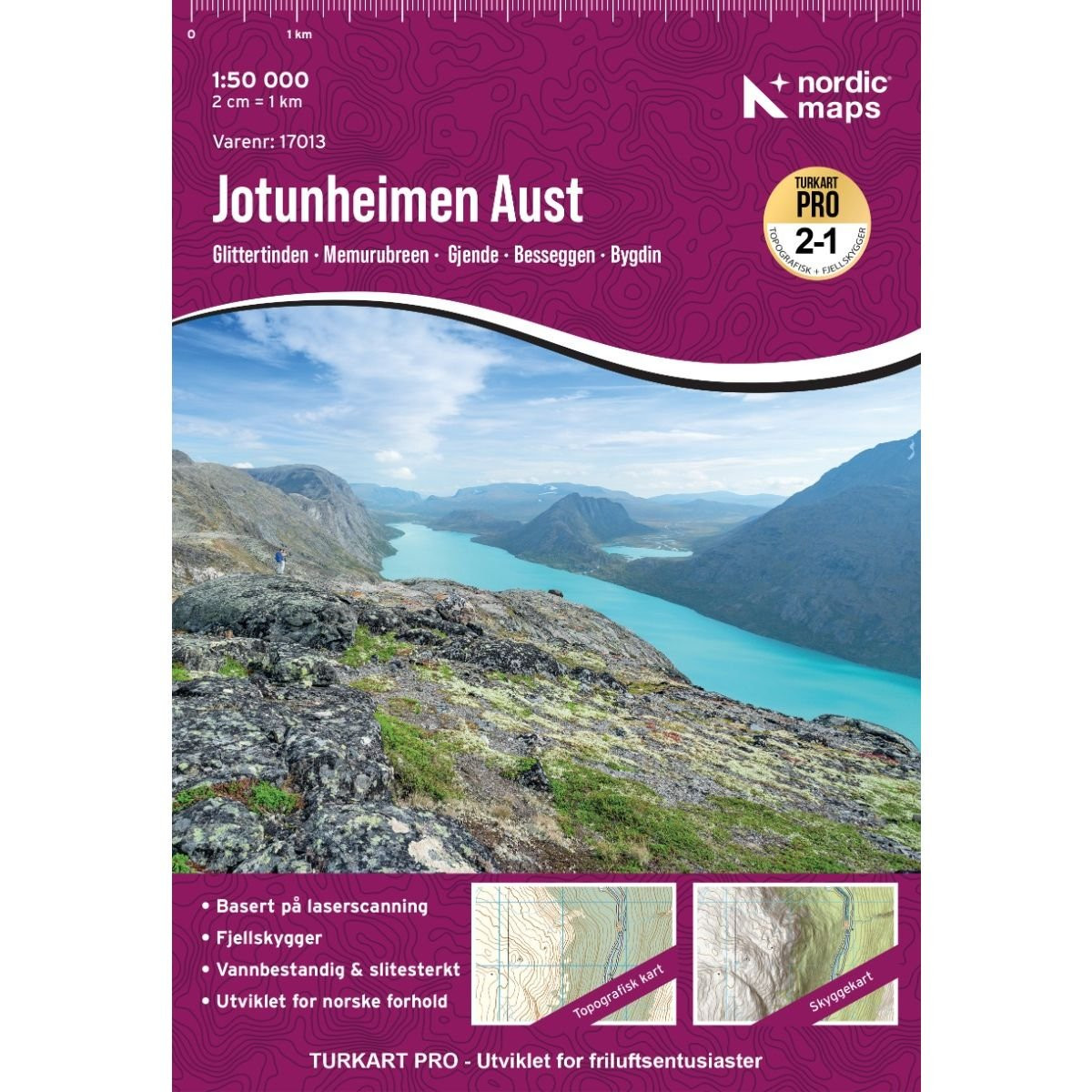
Hiking and outdoor map of the eastern part of the Jotunheimen Aust mountain range in Norway. This 1:50,000 topographic map covers the eastern part of the Jotunheimen mountain range. It includes tourist information in English and Norwegian.
The Jotunheimen Aust map covers the following locations: Bygdin, Bøverdalen, Gjende, Glittertinden, Jotunheimen, Jotunheimen National Park, Knutsholstinden, Nautgardstinden, Sjodalen, Valdresflye, Veodalen, Vinstre.
The map shows the following mountain huts: Yksendalsbu, Haugseter fjellstue, Bygdin fjellhotell, Torfinnsbu, Gjendehytta, Gjendebu, Maurvangen, Gjendesheim, Memurubu, Bessheim, Postfuru, Besstrond Sæter, Heimsand, Hindsæter, Hindvangen fjellcamp, Spiterstulen, Glitterheim, Juvasshytta, Grønbua, Saubua, Heranosbua, Raudbergstulen.
Points to remember
Technical details
| Brand | Nordeca |
|---|---|
| Country | Norway |
| Map Type | Hiking maps |
| Series | Turkart Pro |
| Article number | 17013 |
| EAN | 7046660170137 |
| Date of publication | 2026 |
| Scale | 1:50 000 |
| Languages | Anglais, Norvégien |
| Dimensions | 70 x 100 cm |
| Folded size | 20,7 x 14,2 cm |
| Materials | Tyvek |
| Weight | 55 g |
| Warranty | 2 years |
| Country of Manufacture | Lithuania |