


The opinion of Aventure Nordique
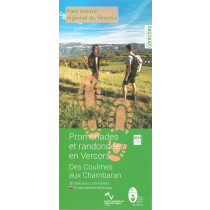
A natural limestone citadel , the Vercors regional nature park covers some 206,208 hectares between the Isère Valley in the north and the Diois region in the south.
Royans to the west, a deep gulf that enters the Vercors through valleys and majestic gorges, and the Gervanne valley further to the south , basking in the sunshine of southern France, offer 739 km of secluded, marked itineraries. Along these paths you can see splendid landscapes, varied fauna and flora and fascinating cultural heritage - all great ways to discover the history and spirit of the area.
Welcome to the Vercors regional nature park where you can get in touch with nature !
Points to remember
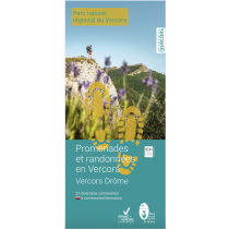
Both a map and a guidebook offering 26 (26 in French and 10 in English) walking itineraries across the Vercors Gervanne Royans Drôme area. Each route includes a description, duration, distance, altitude difference, level and accessibility. IGN map base with a scale of 1.5 cm corresponding to 500 metres. An ideal paper guide to help you understand and explore the area.
Technical details
| Brand | Parc Naturel Régional du Vercors |
|---|---|
| Country | France |
| Map Type | Hiking maps |
| Sheet reference | 28643 |
| Article number | RVGERVANNE24 |
| EAN | 9782909964157 |
| Date of publication | 2015 |
| Scale | 1:33 333 |
| Folded size | 11,5 x 20,5 cm |
| Weight | 90 g |
| Additional information | Suggested walks from the villages:
|
| Warranty | 2 years |
| Country of Manufacture | France |
verified customer reviews 
Questions & Answers
Be the first to ask a question about this product
Related Products
You may also be interested

L'avis de nos aventuriers

Ici, vous achetez en toute sécurité
Cette boutique répond aux critères de qualité de Trusted Shops

Protection acheteur
Votre achat est assuré jusqu'à 2500€ quel que soit votre mode de paiement