The opinion of Aventure Nordique
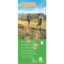
This map-guide offers 1,029 km of waymarked and signposted routes to discover the Quatre-Montagnes plateau and the foothills of the northern piedmont, between the Isère valley to the north and the Diois to the south.
The trails take you through the villages of Corrençon-en-Vercors, Villard-de-Lans, Lans-en-Vercors, Autrans-Méaudre en Vercors, Engins and Saint-Nizier-du-Moucherotte.
Points to remember
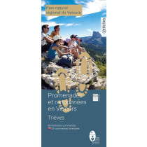
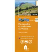
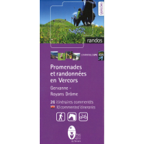
This is both a map and a guide offering 26 (26 in French and 7 in English) walking itineraries across the Quatre-Montagnes and Northern Piedmont regions. Each route includes a description, duration, distance, altitude difference, level and accessibility. IGN map base with a scale of 1.5 cm corresponding to 500 metres. An ideal paper guide for getting to know and exploring the area.
Technical details
| Brand | Parc Naturel Régional du Vercors |
|---|---|
| Country | France |
| Type | Hiking map |
| Sheet reference | 45351 |
| Article number | 45351 |
| EAN | 9782909964065 |
| Date of publication | 2021 |
| Scale | 1:33 333 |
| Folded size | 11,5 x 20,5 cm |
| Weight | 90 g |
| Additional information | Suggested walks from the villages:
|
| Warranty | 2 years |
| Country of Manufacture | France |


